Avery Bennett · 4 November 2026
Advanced Acoustic Methods Reveal Evolving Sediment Layers in Isolated Baltic Bays
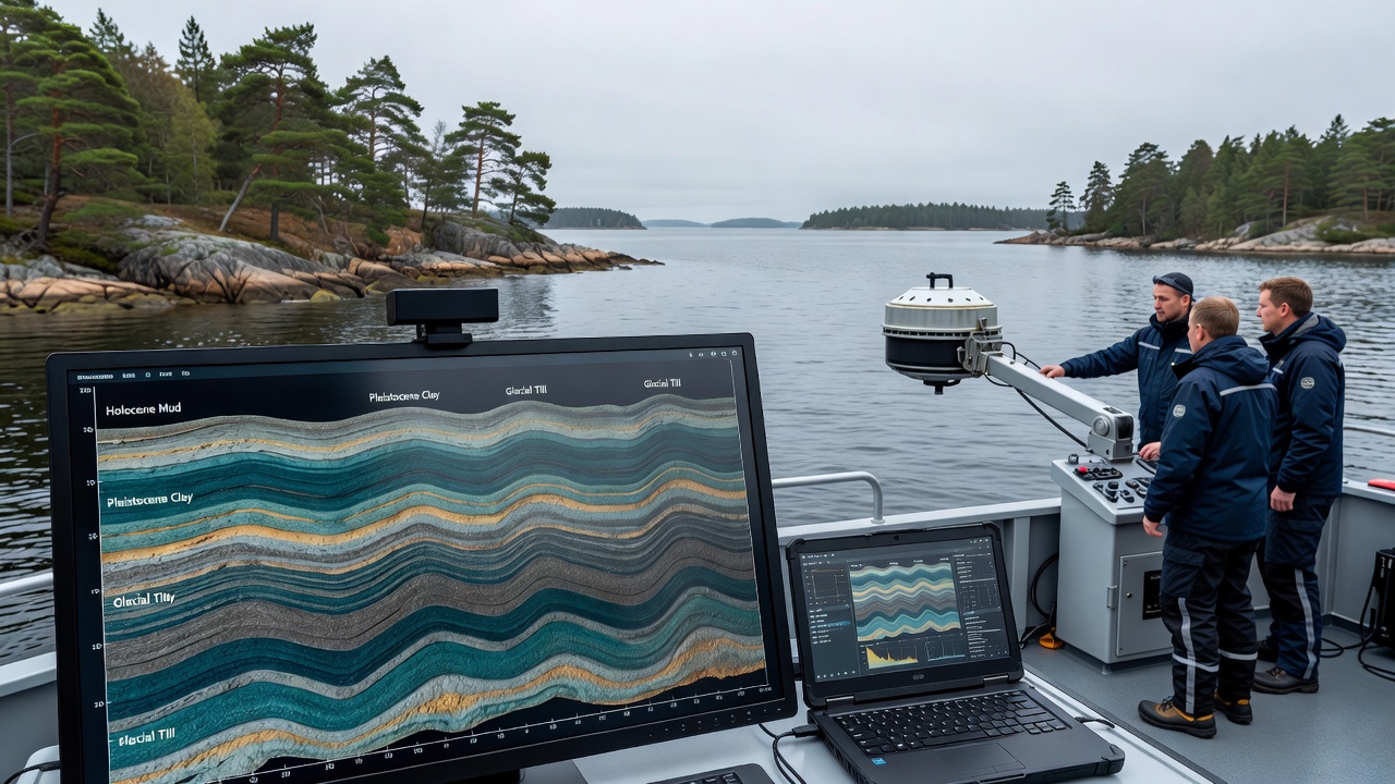
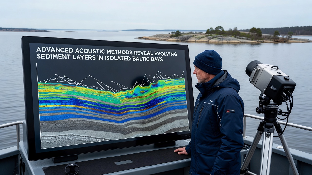
Advanced acoustic techniques now allow researchers to map sediment layers in isolated Baltic bays with greater precision than earlier surveys permitted, and data collected through November 2026 shows measurable shifts in deposit thickness and composition across several sheltered inlets along the Polish and Swedish coasts. Multibeam echosounders combined with sub-bottom profilers transmit sound pulses that penetrate the seafloor and return detailed profiles of layered materials, while processing software converts those returns into three-dimensional models that track changes over repeated measurement campaigns.
Survey Equipment and Data Collection
Teams operating from research vessels position hull-mounted transducers and towed arrays to cover bay floors at resolutions down to centimeters, and the resulting acoustic datasets integrate with sediment core samples taken at selected stations to ground-truth layer boundaries. Frequency ranges between 3.5 and 200 kilohertz distinguish between fine silts, organic-rich muds, and coarser sands, while chirp systems extend penetration to several meters below the sediment-water interface in low-energy environments typical of these enclosed waters.
Surveys conducted in November 2026 targeted bays such as those near the Słowiński National Park and the Åland archipelago, where limited water exchange with the open Baltic reduces wave reworking and allows incremental accumulation patterns to persist. Repeated transects at six-month intervals produce time-series images that document both vertical accretion and lateral migration of sediment bodies, and automated classification routines assign acoustic facies to specific grain-size classes validated by laboratory analysis of grab samples.
Observed Changes in Sediment Distribution
Results indicate that certain bays have experienced net deposition rates of 2 to 8 millimeters per year in central basins, whereas margins show localized erosion linked to altered current regimes and occasional storm-driven inflows. Acoustic backscatter intensity maps reveal patches of higher reflectivity that correspond to exposed glacial till or relict sands, and these features have expanded in several locations since the previous mapping cycle completed in 2024.
Organic-rich layers appear thicker in the innermost sectors of some bays, consistent with increased terrestrial input during higher precipitation years, and the acoustic profiles capture internal reflectors that mark flood-event deposits from specific catchments. Cross-validation with particle-size distributions from cores confirms that acoustic impedance contrasts align closely with transitions between clayey silts and sandy muds, supporting quantitative estimates of volume change across the study areas.
Integration with Environmental Monitoring
These acoustic datasets feed into broader coastal monitoring frameworks coordinated through regional bodies, and the information supports assessments of habitat suitability for benthic communities that depend on stable sediment conditions. According to HELCOM reports, sediment dynamics influence nutrient cycling and contaminant retention in Baltic sub-basins, and the high-resolution mapping now available allows more accurate parameterization of transport models used by management agencies.
Researchers cross-reference acoustic findings with current-meter records and wind data from nearby meteorological stations to isolate drivers of observed layer evolution, and machine-learning algorithms trained on the combined datasets improve predictions of future redistribution under varying climate scenarios. The approach avoids reliance on sparse point sampling alone and instead provides continuous spatial coverage that captures small-scale heterogeneity within each bay.
Future Applications and Data Sharing
Continued acoustic campaigns scheduled through 2027 will extend coverage to additional isolated inlets and refine temporal resolution to seasonal intervals, while open-access repositories will host the processed profiles alongside metadata describing equipment settings and processing parameters. Collaboration with institutions in Finland and Germany expands the geographic scope and standardizes calibration procedures across different vessel platforms.
Evidence from these surveys contributes to updated sediment budget calculations for the Baltic Sea as a whole, and the detailed layer information assists in evaluating the effectiveness of coastal protection measures that alter local hydrodynamics. Observers note that the non-invasive nature of acoustic methods permits repeated measurements without disturbing the very deposits under study, preserving conditions for long-term ecological monitoring programs.
Conclusion
Acoustic mapping continues to supply precise records of sediment evolution in secluded Baltic bays, and the November 2026 datasets add another increment to an expanding archive that documents both natural variability and responses to external pressures. Integration of these measurements with regional environmental frameworks enhances understanding of depositional processes and supports evidence-based management decisions across the Baltic drainage area.