Bianca Bennett · 21 October 2026
Sensor Networks Uncover Hidden Links Between Baltic Wave Patterns and Local Dune Shifts
Researchers have installed extensive sensor networks along Baltic coastlines and these systems now track wave dynamics in real time while simultaneously recording changes in nearby dune structures; the combined data streams have begun to reveal previously undetected correlations between specific wave behaviors and sediment redistribution patterns. Data collection efforts intensified through 2025 and into October 2026 when expanded arrays came online near key monitoring stations in Poland and Lithuania.
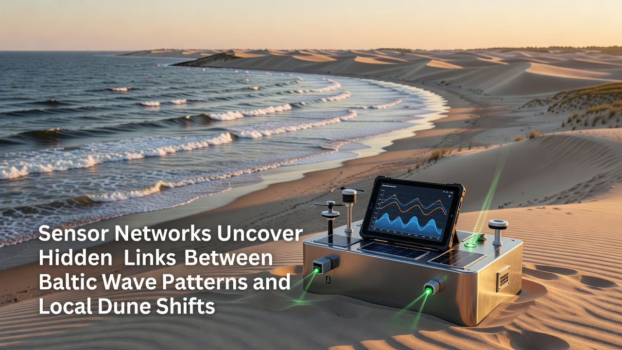
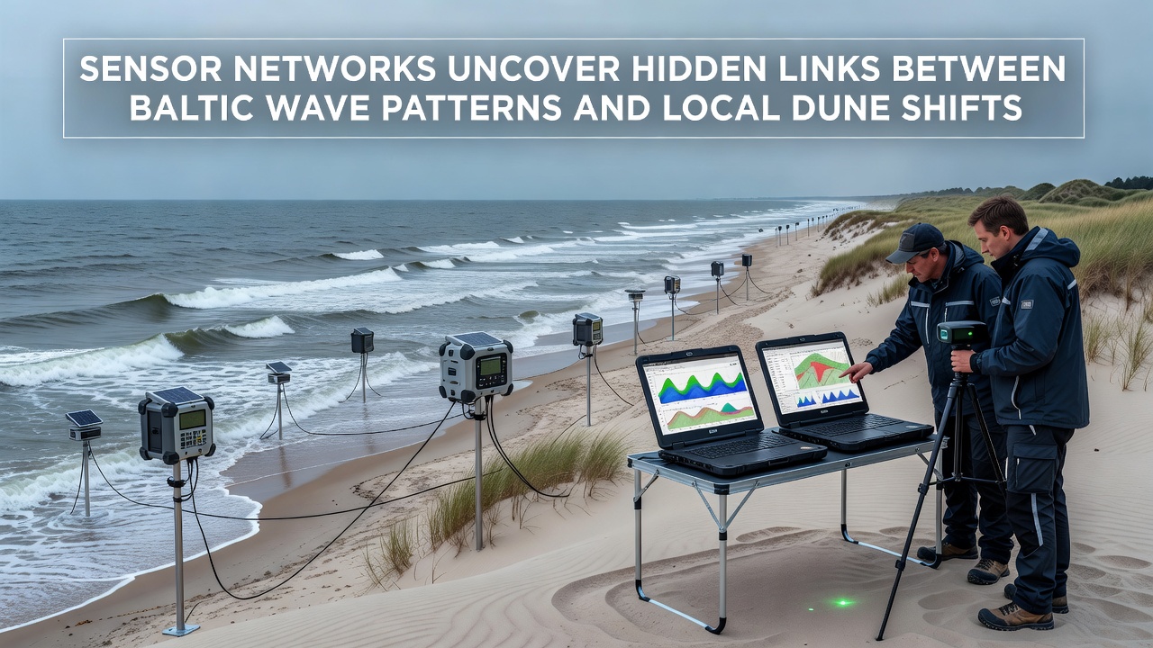
Wave sensors measure parameters such as height, period, direction and energy dissipation at multiple depths, whereas dune monitoring stations employ lidar, acoustic sensors and ground-penetrating radar to capture incremental shifts in sand volume and slope angles. When analysts cross-referenced these datasets they identified clusters of high-frequency wave events that consistently preceded measurable dune toe erosion within 48 to 72 hours.
Deployment of Integrated Monitoring Systems
Coastal research teams positioned sensor nodes at intervals ranging from 200 meters to 1.5 kilometers along stretches of shoreline exposed to both prevailing westerly winds and occasional storm surges from the northeast. Each node transmits readings every 15 minutes to centralized databases where machine-learning algorithms flag anomalies that warrant further investigation by field crews. The approach allows continuous observation across seasons rather than relying solely on periodic manual surveys that once limited temporal resolution.
One installation near the Hel Peninsula captured a sequence of moderate wave trains in late summer 2026 that coincided with accelerated sand transport toward adjacent bays; researchers noted the timing aligned with measured reductions in dune crest height of up to 12 centimeters over a three-week period. Similar patterns appeared at sites further east where fetch distances differ yet the underlying relationship between wave energy spectra and dune response remained consistent.
Data Correlations and Emerging Patterns
Statistical analysis of the sensor records shows that wave periods between 4.5 and 6.8 seconds combined with directional shifts exceeding 30 degrees within a six-hour window produce the strongest associations with subsequent dune movement. These conditions appear to focus energy at the shoreline in ways that mobilize sediment more efficiently than longer-period swell or shorter choppy seas. Researchers have mapped these events onto spatial models that predict which dune segments face elevated risk during forecasted weather systems.
Cross-border data sharing among institutions in Poland, Sweden and Germany has accelerated pattern recognition because individual national networks previously lacked the spatial coverage needed to trace wave propagation from open sea into nearshore zones. Joint datasets now extend more than 800 kilometers along the southern and eastern Baltic rim, revealing that certain wave refraction patterns repeat across multiple embayments even when local bathymetry varies.
According to findings published by the Baltic Marine Environment Protection Commission, the frequency of these critical wave signatures increased by 18 percent between 2020 and 2025. The same report notes that dune systems adjacent to river mouths experience amplified responses because incoming freshwater plumes alter nearshore density stratification and thereby modify wave breaking behavior.
Implications for Coastal Management
Local authorities have begun incorporating the sensor-derived forecasts into dune reinforcement schedules and setback determinations for new construction. In several municipalities, early warning thresholds trigger temporary access restrictions to sensitive dune areas during predicted high-risk wave windows, reducing foot traffic that could otherwise compound natural erosion. The same thresholds inform decisions about where to place seasonal sand fencing or initiate limited nourishment projects before winter storm seasons begin.
Longer-term planning documents now reference wave-dune linkage models when evaluating infrastructure investments such as harbor expansions or offshore wind farm cable routes. Planners recognize that alterations to nearshore bathymetry could shift wave energy distribution and therefore change which dune segments require priority attention in coming decades.
Additional validation studies are underway at sites in Latvia and Estonia where comparable sensor arrays have operated for shorter durations; preliminary comparisons suggest the core relationships hold across the broader Baltic basin while local modifiers such as ice cover duration and vegetation density introduce measurable variance in response magnitude.
Future Expansion and Refinement
Plans call for denser sensor spacing near ecologically sensitive dune habitats and integration of satellite-derived shoreline positions to extend coverage beyond instrumented stretches. Teams also intend to couple the existing networks with acoustic Doppler current profilers that capture subsurface currents known to influence sediment pathways between dunes and offshore bars. These enhancements should tighten the temporal and spatial precision of predictive models by the end of 2027.
Reports from the National Oceanic and Atmospheric Administration on comparable temperate coastal systems provide useful methodological benchmarks even though the Baltic's enclosed character produces distinct wave climates. Researchers continue to adapt these methods to account for the region's limited tidal range and seasonal ice influence.
Conclusion
Continued operation of the sensor networks supplies an expanding archive that strengthens statistical confidence in the observed wave-dune linkages and supports adaptive management responses across the Baltic region. As datasets grow through 2026 and beyond, coastal managers gain improved capacity to anticipate and mitigate localized dune shifts tied to evolving wave conditions.