Drew Fischer · 7 October 2026
University Partnerships Deploy Sensor Networks to Map Baltic Microplastic Movements and Coastal Sediment Changes
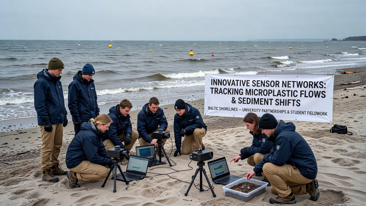
Academic teams from multiple institutions have established sensor networks that record microplastic transport and sediment displacement along Baltic shorelines, with projects relying on coordinated university partnerships and repeated student fieldwork campaigns.
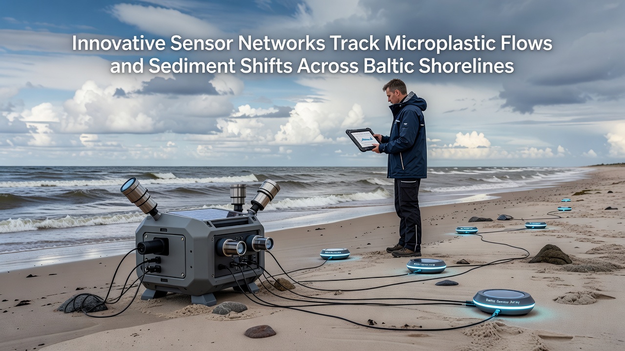
These networks combine fixed underwater sensors, buoy-mounted instruments, and portable sampling devices that capture real-time data on particle movement driven by currents, waves, and seasonal weather patterns. Researchers integrate readings from optical sensors, acoustic profilers, and automated water samplers to build continuous records of both microplastic concentrations and sediment grain-size shifts across multiple sites.
Partnership Structures and Field Operations
Universities in Poland, Sweden, and Germany coordinate equipment sharing, data protocols, and joint calibration sessions so that measurements remain comparable across national borders. Student teams handle seasonal deployments and retrievals, often working from small vessels or shore-based platforms during low-tide windows that allow safe access to shallow monitoring stations.
Training programs teach participants how to maintain sensor housings, download logged files, and perform basic quality checks before data enter shared repositories. One study released preliminary figures showing elevated microplastic counts near river mouths during spring runoff periods, while sediment transport rates increased measurably after autumn storms.
Data Collection Milestones Through 2026
By October 2026 the networks will have accumulated three full annual cycles, allowing analysts to compare microplastic peaks against sediment redistribution events documented in the same locations. Data streams feed into models that estimate how far particles travel before settling or re-suspending, and how changes in sediment composition affect local shoreline stability.
Figures released by the European Environment Agency indicate that Baltic microplastic levels have risen steadily since systematic monitoring began, with highest densities recorded in semi-enclosed bays. University teams cross-reference their sensor outputs against these regional statistics to identify localized hotspots that require additional sampling.
Integration of Student Fieldwork with Sensor Technology
Field crews collect paired samples at sensor locations to validate instrument readings and to gather material for laboratory analysis of polymer types and sediment mineralogy. Protocols require students to log GPS coordinates, water depth, and weather conditions at each station so that every data point carries full metadata.
Portable pumps and mesh filters allow teams to process several liters of water on site, reducing transport volume while preserving particle integrity for later identification. Sediment cores taken adjacent to sensor moorings provide vertical profiles that reveal how microplastics become buried or exhumed over successive seasons.
Model Development and Cross-Border Data Sharing
Processed datasets enter hydrodynamic models that simulate particle trajectories under varying wind and current regimes. These models incorporate sediment transport modules so that researchers can examine interactions between plastic particles and moving sand or silt beds. Outputs help coastal managers identify zones where microplastic accumulation coincides with accelerated shoreline retreat.
International data repositories hosted by partner universities allow open access to calibrated time series, subject to standard citation requirements. A report from the Swedish Meteorological and Hydrological Institute notes that shared Baltic datasets have already improved forecast accuracy for nearshore particle dispersion during storm events.
Conclusion
Continued operation of the sensor networks through university partnerships supplies consistent, high-resolution records that document microplastic flows and sediment shifts across Baltic shorelines. Student fieldwork remains central to equipment maintenance, sample collection, and data validation, ensuring that expanding datasets stay grounded in direct field observations. The resulting information supports regional assessments of coastal change and contributes to broader efforts that track marine debris movement in semi-enclosed seas.